Geospatial Intelligence
Powered by AI
Khyros transforms complex geospatial data into actionable intelligence, identifying patterns, anomalies, and future events with verifiable accuracy
Start Free TrialEnterprise-Grade Intelligence
Built for government and defense organizations that demand precision, security, and scalability
AI-Powered Analysis
Advanced machine learning algorithms automatically identify patterns and anomalies in complex geospatial datasets.
Agent Enabling
Khyros uses MCP (Model Context Protocol) to seamlessly connect LLMs and AI agents with geospatial data, enabling them to perform complex analysis.
Predictive Forecasting
Leverage historical patterns to predict future events and identify potential threats before they emerge.
Empower youran|

Forecast events
Automatically identify patterns. Forecast future events by timeframe.

Find and compare
Combine and analyze disparate data for easy comparative analysis.

Identify anomalies
Use geospatial patterns to instantly flag suspicious or irregular activity.
Features
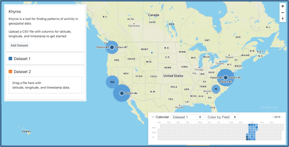
Visualize in seconds
Drag and drop your data, and let AI take care of the rest.
Import many file types
Intuitive user interface
Flexible AI driven search
Automated forecasting
Patterns most likely to reoccur are displayed first.
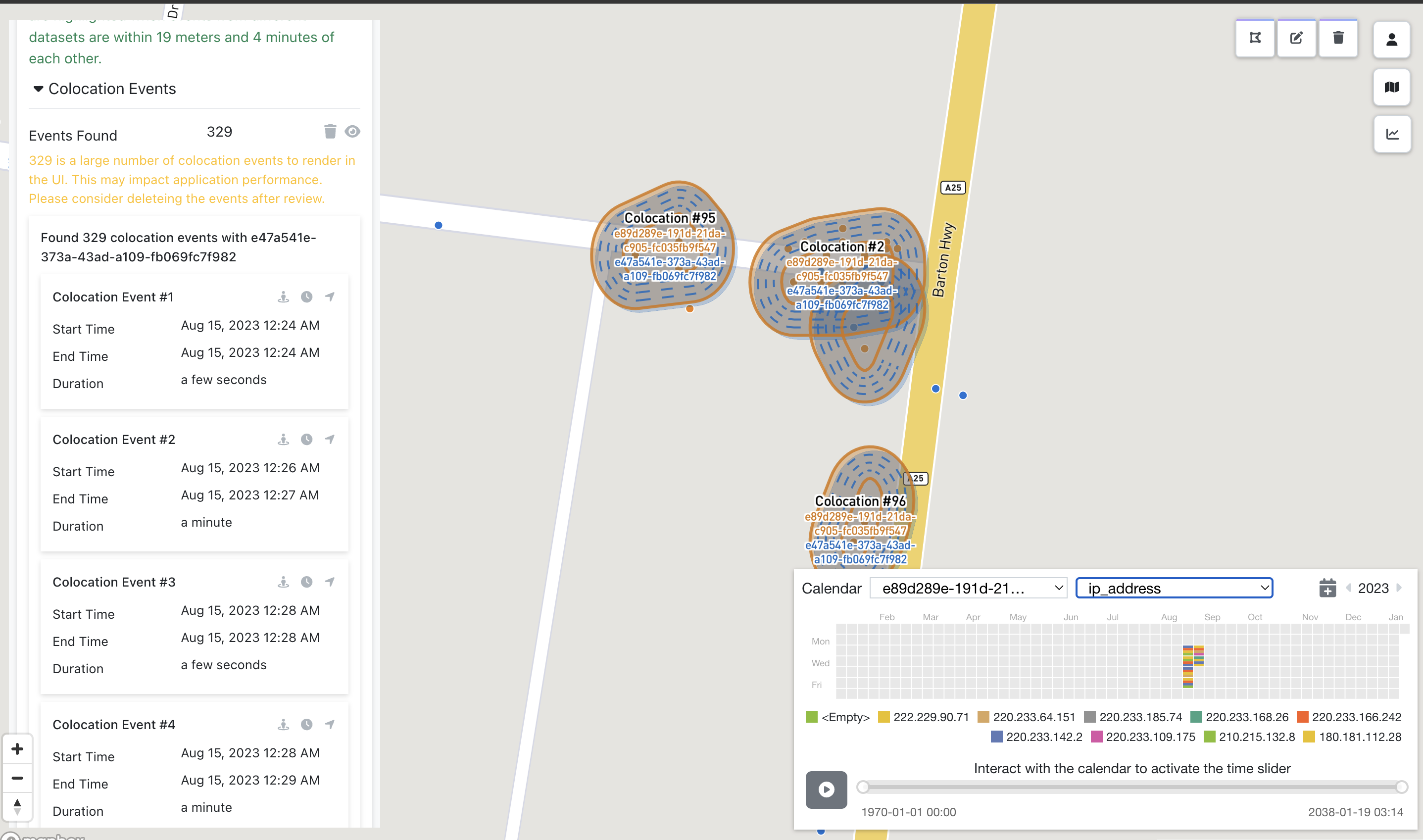
Alert users to overlapping patterns
Highlight colocation-cotime events
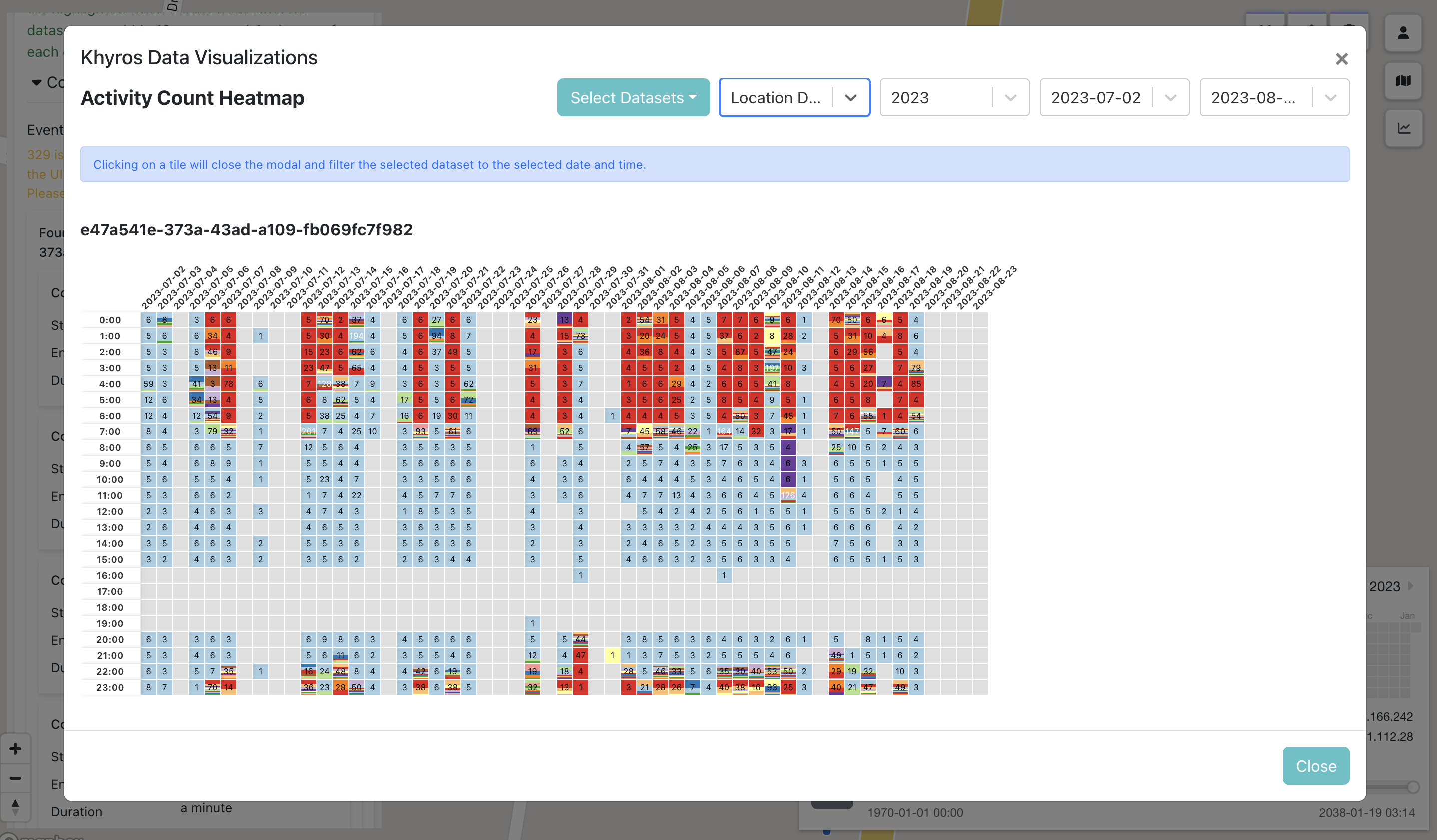
Instantly flags out of character activity
Free your data
Data and analytical outputs go where you need them.
Custom data adapters
Export to open data formats
APIs for enterprise scale analysis
Applications
Military & intelligence
Veteran founded, Khyros has already proven itself in the toughest military environments.
Public health & safety
Combine datasets to identify hotspots before they spiral out of control.
Law enforcement
Identify patterns in crime to forecast where future events are likely to occur.
Fraud detection
Instantly detect events that are out of pattern after establishing normal behavior.
Ad tech analysis
Know what motivates your customer in big ad tech data with a proven technology.
Experience the Future of Geospatial Intelligence
Sign up for a free 30-day trial and discover what AI-powered analysis can reveal about your geospatial data.